Directions to Northey Street House Bed & Breakfast Salem, MA
*** If driving, GPS will take you to Rt 107 which is the shortest distance, but has the most lights and is not really a highway as most would think of it. Avoid it if possible.
Driving Directions
Take Route 93 North to 128 North toward Peabody or Gloucester. Take exit 26 (Lowell Street, Peabody) toward Salem. Follow the “From Exit 26” directions below.
Take Mass Pike East to the Route 128 Exit. Follow Route 95 North (which is also 128 North). After Exit 44 the highway splits, stay on Route 128 North which bears to the left. The exit numbers then drop into the twenties. Take Exit 26. Follow “From Exit 26” directions below.
Take Exit 26. Follow “From Exit 26” directions below.
Go straight on Lowell Street for about 2 miles. It turns into Main Street, then Boston Street as you enter Salem. Keep going straight into Salem until you see Dunkin Donuts on your left and a sign for Route 107 North. Turn left onto Route 107 (aka Bridge St) North towards Beverly. Go under the overpass, stay in center lane as you pass the 1st light at a major intersection, Washington Street.
Move to Right Lane as you pass the 2nd light at St. Peters Street. Turn right at the 3rd light across from the yellow complex of Apts. See “Welcome to Bridge Street Neck” sign on your right with Howard Street Cemetery behind it. Pass 3 one way streets on your right, then come to an X-like intersection with a blinking yellow light, turn left onto Northey Street. We’re mid-way down on the right.
***Note: Bridge Street also know as Route 1A splits to a Bypass road which by-passes Bridge St which we are off of.
*** If you pass Coffee Time Bake Shop and Mobil Gas station on your left, you’ve gone too far.
Salem Trains
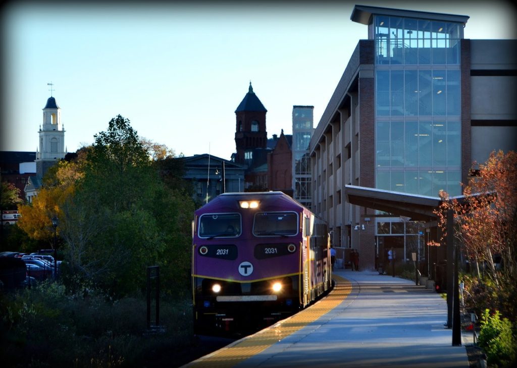
Take the blue line on the subway system to South Station. Transfer to North Station, then take the Commuter Rail (purple) heading toward Newburyport/Rockport and get off at Salem.
From the Salem Train Depot:
You can either take the taxi(s) that usually wait there for ~$6 or walk (~10 minutes or less). Go up the set of stairs up onto Bridge Street aka Route 1A. Turn left at the top of the stairs such that you are walking with the yellow complex of apartments on your left. Do not go on the road that cuts between the yellow complex of apts. At the Jefferson Center sign, where the light is, cross the street twice to get to the diagonal end of the intersection. Stay on Bridge Street. Past Howard Street Cemetery. At the next intersection, you’ll see a blinking yellow light, turn left onto Northey Street. We’re on the right side of the street mid-way to the end, the blue and white 3 story Federal next to the beige 3 story Federal.
You don’t really need a car. Salem Skipper App is like a Salem only Uber, anywhere in Salem for $3 or less.
Salem Buses
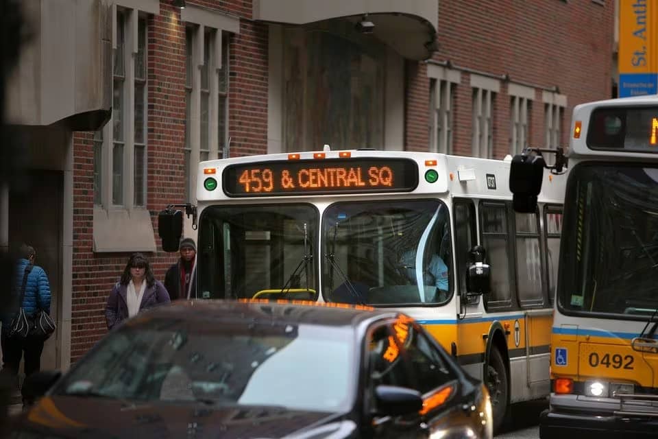
Check out these two bus route options and pick the one that works best for you.
1) Logan Express Peabody (the PURPLE bus) takes 35-45 minutes. They run hourly. (takes you to Peabody, town next to Salem, in the NorthShore Mall between Barnes & Noble & Shaws market). You can purchase the ticket online at $9 each way (2022). From there, take an Uber or a taxi for ~$12 to 30 Northey St, Salem.
2) On weekdays only, bus #459 will take you from Logan to the Salem Train Depot for about $3, but takes about an hour. Go up one level from the baggage claim area, to find a sign for Bus #459. Bus does not run on Saturdays, Sundays, & holidays. I strongly advise you to consult MassTransit for the bus schedule.